Prestige Park Street Map
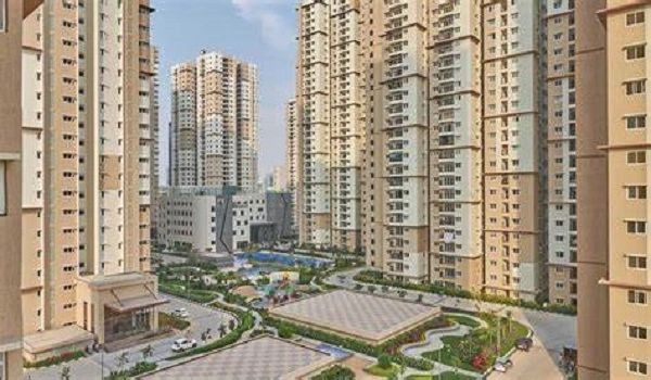
Featured Image of Prestige Park Street Map


The Prestige Park Street map shows the exact location of this 3.48-acre township on Velachery 100 Ft Road, South Chennai. You can spot nearby roads, transit stations, tech parks, schools, and medical centers at a glance. The map also shows how the project connects to Guindy, Taramani, and the rest of Chennai, so you can check travel routes before you visit.

You can easily find the spot on Google Maps with these exact coordinates:

  • Latitude: 12.990651 Degree N
  • Longitude: 80.219555 Degree E

The map shows that this grand project sits in the prime locality of Velachery, Chennai. It is very close to top tech zones and business centers. Buyers can spot the venture quickly using the map. The view helps users check approach roads, local street entries, and nearby luxury properties around Prestige Park Street.

Prestige Park Street is a high-end housing project by the Prestige Group. It covers 3.48 acres of land and holds 4 large high-rise towers (A, B, C & D). These towers offer 252 luxury flats in 3 and 4 BHK options. The project is now in the active pre-launch phase. The map shows its main entrance gates on Velachery 100 Ft Road. This location places the project perfectly within the South Chennai growth belt.

View the live map above for exact directions to Prestige Park Street. You can also download a printable map through our enquiry form for offline reference.

Prestige Park Street Project Highlights


Feature Detail Type
Project Type Premium High-Rise Apartment
Current Stage Pre-Launch Stage
Project Location 140, Velachery 100 Ft Road, Velachery, Chennai - 600042
Builder Name Prestige Group
Apartment Sizes 2,280 sq. ft. to 4,288 sq. ft.
Starting Price Rs. 4 Crores onwards
Total Land Area 3.48 Acres
Total Units 252 Flats (4 Towers / B2 + B1 + Ground + 18 Floors)
Official Launch October 05, 2026
Construction Completion October 25, 2030
Possession October 31, 2030

FAQs


1. Where is Prestige Park Street located on the map?

Prestige Park Street is located at 140, Velachery 100 Ft Road, Velachery, South Chennai. The approximate map coordinates are 12.990651° N, 80.219555° E for navigation.

2. How far is the nearest train station from Prestige Park Street?

The nearest station is Velachery MRTS Station, around 800 metres from the main property gates.

3. Which major IT corridors are close to the project?

The project sits close to major tech hubs. TIDEL Park is around 4.5 km away, and Ascendas IT Park is around 3.8 km away. This makes daily travel convenient for corporate employees.

4. How far is Chennai International Airport from Prestige Park Street?

The airport is around 7.3 km away, reachable in about 14 minutes via GST Road in normal traffic.

5. Which roads connect Prestige Park Street to the rest of Chennai?

The project connects via GST Road, the 200 Feet Radial Road, and Velachery Main Road. These link it to Guindy and the OMR IT corridor.

6. Is a map PDF available for Prestige Park Street?

Yes. A detailed location map is included in the project brochure and can be requested through the enquiry form.

Enquire Now